
This is the place to find the updates on our travels: where we've been and (in due course) a little bit about the places.
Sydney to Melbourne - Leg 2: Bomaderry to Canberra
Continuing inland the route takes us through winding roads of beautiful countryside dotted with tiny villages. Canbewarra Mountain lookout (see leg 1) provides amazing though rather hazy views of the countryside for miles and here we met our first wild wallaby in the aptly named Kangaroo Valley - unfortunately too shy to wait for his picture to be taken.
Further north the landscape was no less dramatic at Fitzroy Falls, claimed to be one of the most spectacular waterfalls in Australia with a drop of 81m and well served with walkways and viewing points. Unfortunately the falls were in shade at the time of our visit and despite the walkways, clear views of the falls themselves were limited.
Turning south west along the M31 road towards Canberra, the landscape turned flatter and drier with fewer features worth stopping for, though we did stop along the way at a town called Goulburn - just to see what small rural towns were like. One main high street with heritage buildings seemed to be the answer!
Canberra itself is a planned city with the main axis following the line from the Mount Ainslie lookout through the Australian War Memorial, and down Anzac Parade. The axis continues straight up through Old Parliament House to New Parliament House, through the middle of the Prime Minister’s Office, and then on beyond into the mountains. It was designed by the city’s founders, Walter Burley Griffin and Marion Griffin in 1911.
The scale of the design and it's focus on roads rather then walkways makes it very pedestrian unfriendly. One certainly needs a car to visit all the attractions and the need to find parking at each location was time consuming and off-putting. Nevertheless, the sunset and blue-hour views of the city from Mount Ainslie were blessed with good light.
The images from this leg can be seen here
Sydney to Melbourne - Leg 1: Sydney to Bomaderry
Our 8 day driving trip from Sydney to Melbourne is under way with the first leg taking the coast road for some dramatic sea views along the Grand Pacific Drive from the Royal National Park, over the iconic Sea Cliff Bridge and then turning inland to stop the first night at Bomaderry. Total driving distance was about 170km. Once out of Sydney, roads were not too busy by UK standards though there are many changes in speed limits which require constant attention including mobile and fixed speed cameras and time-specific limits of 40km/hr around all schools.
The map of the whole route can be seen here
Day 1 images can be seen here
More sights of New Zealand - South Island
This content continues the recent sailing around New Zealand aboard the Princess Discovery cruise ship to the South Island, adding 3 ports of call: Picton, Lyttelton for Christchurch and Port Chalmers for Dunedin plus some scenic sailing in the southern fjords. The weather unfortunately in the fjords was very poor and although there were some dramatic cloudscapes which worked well in black and white, output from this area was disappointing.
- Images from Picton can be seen here.
- Images from Lyttelton can be seen here.
- Images from Dunedin and the Taieri Gorge can be seen here.
- Images from the southern fjords can be seen here.
Don't forget that images are best viewed as a slideshow (upper right button in the gallery) and that North Island images can be viewed in the gallery collection here.
More sights of New Zealand - North Island
A warm welcome to those who have recently signed up to receive notifications of new content. This content follows the recent sailing around New Zealand aboard the Princess Discovery cruise ship with 5 ports of call scheduled. Unfortunately Tauranga (with inland visits to Rotorua) had to be cancelled due to bad weather and so the North Island visit was limited to Auckland for 2 days with a land-based visit to Piha - a scenic black-sand surf beach on the rugged coast west of Auckland with walks through native forest in the surrounding hills.
Sights of Auckland can be seen here
Sights from Piha can be seen here
More content as we get to the South Island will be added shortly.
Landscapes of the South Island
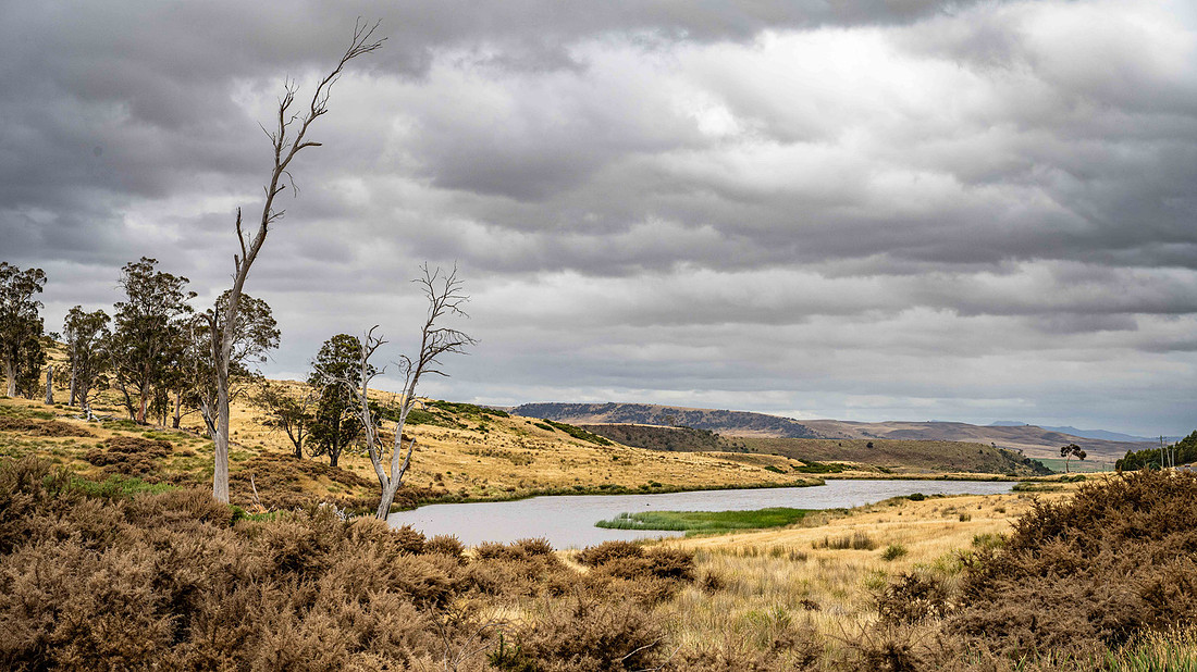
Continuing to sail around New Zealand, this gallery is a round-up of some of the landscapes to be seen in the South Island: Landscapes of the South Island . The image names are included to give the locations chosen and a map is included to show these places. Images in some of the recent ports of call will follow in due course and subscribers will be notified (see Subscribe webpage.)
Please note that these are low resolution images in this gallery due to constraints whilst travelling. Higher resolution images will be substituted at a later date.